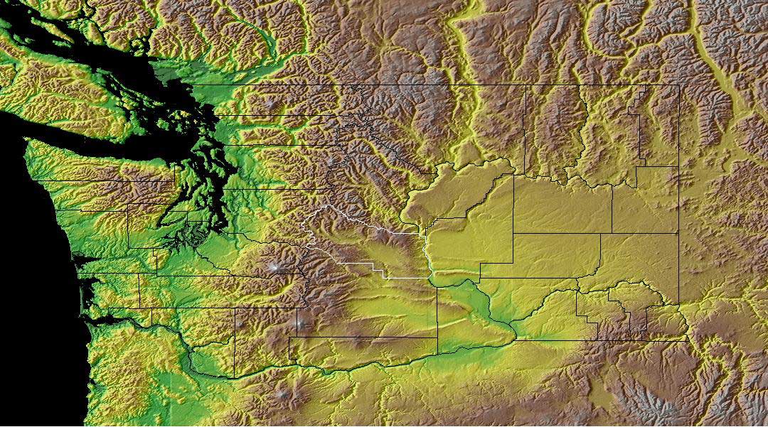
 Once again a map of Washington state. This is one of my favorite places. We really enjoyed our time there and this map represents why. We lived in Tacoma on the western side of the state where it is green.This area gets a lot of rain and is very green. The brown area are the mountains. In the early spring you could wear shorts and then drive to the mountains where it is snowy. On the eastern side of the state it is more desert-like. The Army uses the large gold colored area in the middle to simulate desert conditions.
 http://www.co.kittitas.wa.us/images/maps/map_wa_relief.jpg
No comments:
Post a Comment